Morvern and Lochaline - OS Explorer Active Map (2015) Ordnance Survey Map September 2015 Edition S$ 25
Rannoch Moor and Ben Alder - OS Explorer Active Map (2015) Ordnance Survey Map September 2015 Edition S$ 25
Forfar, Brechin and Edzell - OS Explorer Active Map (2015) Ordnance Survey Map September 2015 Edition S$ 25
Ardnamurchan, Moidart, Sunart and Loch Shiel - OS Explorer Active Map (2015) Ordnance Survey Map September 2015 Edition S$ 25
Ardgour and Strontian - OS Explorer Active Map (2015) Ordnance Survey Map September 2015 Edition S$ 25
Ben Nevis and Fort William, the Mamores and the Grey Corries, Kinlochleven and Spean Bridge - OS Explorer Active Map (2015) Ordnance Survey Map September 2015 Edition S$ 25
Stonehaven, Inverbervie and Laurencekirk - OS Explorer Active Map (2015) Ordnance Survey Map September 2015 Edition S$ 25
Rum, Eigg, Muck, Canna and Sanday - OS Explorer Active Map (2015) Ordnance Survey Map September 2015 Edition S$ 25
Loch Morar and Mallaig - OS Explorer Active Map (2015) Ordnance Survey Map September 2015 Edition S$ 25
Loch Arkaig - Fort William and Corpach - OS Explorer Active Map (2015) Ordnance Survey Map September 2015 Edition S$ 25
Loch Lochy and Glen Roy - Spean Bridge, Invergarry and Fort Augustus - OS Explorer Active Map (2015) Ordnance Survey Map September 2015 Edition S$ 25
Aberdeen and Banchory - OS Explorer Active Map (2015) Ordnance Survey Map September 2015 Edition S$ 25
Skye - Trotternish and the Storr - OS Explorer Active Map (2015) Ordnance Survey Map September 2015 Edition S$ 25
Raasay, Rona and Scalpay - OS Explorer Active Map (2015) Ordnance Survey Map September 2015 Edition S$ 25
Skye - Portree and Bracadale - OS Explorer Active Map (2015) Ordnance Survey Map September 2015 Edition S$ 25
Skye - Cuillin Hills - Soay - OS Explorer Active Map (2015) Ordnance Survey Map September 2015 Edition S$ 25
Glen Shiel and Kintail Forest - OS Explorer Active Map (2015) Ordnance Survey Map September 2015 Edition S$ 25
Glen Affric and Glen Moriston - OS Explorer Active Map (2015) Ordnance Survey Map September 2015 Edition S$ 25
Inverness, Loch Ness and Culloden - OS Explorer Active Map (2015) Ordnance Survey Map September 2015 Edition S$ 25
Monadhliath Mountains North and Strathdearn - OS Explorer Active Map (2015) Ordnance Survey Map September 2015 Edition S$ 25
Elgin, Forres and Lossiemouth - OS Explorer Active Map (2015) Ordnance Survey Map September 2015 Edition S$ 25
Banff, Macduff and Turriff - OS Explorer Active Map (2015) Ordnance Survey Map September 2015 Edition S$ 25
Peterhead and Fraserburgh - OS Explorer Active Map (2015) Ordnance Survey Map September 2015 Edition S$ 25
Kyle of Lochalsh, Plockton and Applecross - OS Explorer Active Map (2015) Ordnance Survey Map September 2015 Edition S$ 25
Glen Carron and West Monar - OS Explorer Active Map (2015) Ordnance Survey Map September 2015 Edition S$ 25
Loch Monar, Glen Cannich and Glen Strathfarrar - OS Explorer Active Map (2015) Ordnance Survey Map September 2015 Edition S$ 25
Glen Urquhart and Strathglass - OS Explorer Active Map (2015) Ordnance Survey Map September 2015 Edition S$ 25
Torridon - Beinn Eighe and Liathach - OS Explorer Active Map (2015) Ordnance Survey Map September 2015 Edition S$ 25
Gairloch and Loch Ewe - OS Explorer Active Map (2015) Ordnance Survey Map September 2015 Edition S$ 25
Beinn Dearg and Loch Fannich - OS Explorer Active Map (2015) Ordnance Survey Map September 2015 Edition S$ 25
Ben Wyvis and Strathpeffer - OS Explorer Active Map (2015) Ordnance Survey Map September 2015 Edition S$ 25
Coigach and Summer Isles - OS Explorer Active Map (2015) Ordnance Survey Map September 2015 Edition S$ 25
Glen Cassley and Glen Oykel - OS Explorer Active Map (2015) Ordnance Survey Map September 2015 Edition S$ 25
Lairg, Bonar Bridge and Golspie - OS Explorer Active Map (2015) Ordnance Survey Map September 2015 Edition S$ 25
Ben Kilbreck and Ben Armine - OS Explorer Active Map (2015) Ordnance Survey Map September 2015 Edition S$ 25
Helmsdale and Strath of Kildonan - OS Explorer Active Map (2015) Ordnance Survey Map September 2015 Edition S$ 25
Foinaven, Arkle, Kylesku and Scourie - OS Explorer Active Map (2015) Ordnance Survey Map September 2015 Edition S$ 25
Durness and Cape Wrath - OS Explorer Active Map (2015) Ordnance Survey Map September 2015 Edition S$ 25
Strath Naver / Strath Nabhair and Loch Loyal - OS Explorer Active Map (2015) Ordnance Survey Map September 2015 Edition S$ 25
Strath Halladale and Strathy Point - OS Explorer Active Map (2015) Ordnance Survey Map September 2015 Edition S$ 25
Wick and the Flow Country - OS Explorer Active Map (2015) Ordnance Survey Map September 2015 Edition S$ 25
Thurso and John O'Groats - OS Explorer Active Map (2015) Ordnance Survey Map September 2015 Edition S$ 25
Barra and Vatersay / Barraigh Agus Bhatarsaigh - OS Explorer Active Map (2015) Ordnance Survey Map September 2015 Edition S$ 25
Benbecula and South Uist / Beinn Na Faoghla Agus Uibhist a Deas - OS Explorer Active Map (2015) Ordnance Survey Map September 2015 Edition S$ 25
North Uist and Berneray / Uibhist a Tuath Agus Bearnaraigh - OS Explorer Active Map (2015) Ordnance Survey Map September 2015 Edition S$ 25
South Harris / Ceann a Deas Na Hearadh - OS Explorer Active Map (2015) Ordnance Survey Map September 2015 Edition S$ 25
North Harris and Loch Seaforth / Ceann a Tuath Na Hearadh Agus Loch Shiphoirt - OS Explorer Active Map (2015) Ordnance Survey Map September 2015 Edition S$ 25
South East Lewis / Taobh an Eardheas Leodhais - OS Explorer Active Map (2015) Ordnance Survey Map September 2015 Edition S$ 25
West Lewis / Taobh Siar Leodhais - OS Explorer Active Map (2015) Ordnance Survey Map September 2015 Edition S$ 25
Central Lewis and Stornaway / Meadhan Leodhais Agus Steornabhagh - OS Explorer Active Map (2015) Ordnance Survey Map September 2015 Edition S$ 25
North Lewis / Ceann a Tuath Leodhais - OS Explorer Active Map (2015) Ordnance Survey Map September 2015 Edition S$ 25
Orkney - East Mainland - OS Explorer Active Map (2015) Ordnance Survey Map September 2015 Edition S$ 25
Orkney - Hoy, South Walls and Flotta - OS Explorer Active Map (2015) Ordnance Survey Map September 2015 Edition S$ 25
Orkney - West Mainland - OS Explorer Active Map (2015) Ordnance Survey Map September 2015 Edition S$ 25
Orkney - Westray, Papa Westray, Rousay, Egilsay and Wyre - OS Explorer Active Map (2015) Ordnance Survey Map September 2015 Edition S$ 25
Orkney - Sanday, Eday, North Ronaldsay and Stronsay - OS Explorer Active Map (2015) Ordnance Survey Map September 2015 Edition S$ 25
Shetland - Mainland Central - OS Explorer Active Map (2015) Ordnance Survey Map September 2015 Edition S$ 25
Shetland - Mainland North East - OS Explorer Active Map (2015) Ordnance Survey Map September 2015 Edition S$ 25
Shetland - Mainland North West - OS Explorer Active Map (2015) Ordnance Survey Map September 2015 Edition S$ 25
Shetland - Unst, Yell and Fetlar - OS Explorer Active Map (2015) Ordnance Survey Map September 2015 Edition S$ 25
Liddesdale and Kershope Forest - OS Explorer Map (2015) Ordnance Survey Map September 2015 Edition S$ 20.50
Liddesdale and Kershope Forest - OS Explorer Active Map (2015) Ordnance Survey Map September 2015 Edition S$ 25
Great Britain North - OS Admin Boundary Map (2016) Ordnance Survey Map February 2016 Edition S$ 26.50
United Kingdom Administrative Boundaries - OS Wall Map (2016) Ordnance Survey Map February 2016 Edition S$ 19
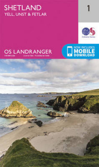
Shetland - Yell, Unst and Fetlar - OS Landranger Map (2016) Ordnance Survey Map February 2016 Edition S$ 20.50
Shetland - Sullom Voe & Whalsay - OS Landranger Map (2016) Ordnance Survey Map February 2016 Edition S$ 20.50
Shetland - North Mainland - OS Landranger Map (2016) Ordnance Survey Map February 2016 Edition S$ 20.50
Shetland - South Mainland - OS Landranger Map (2016) Ordnance Survey Map February 2016 Edition S$ 20.50
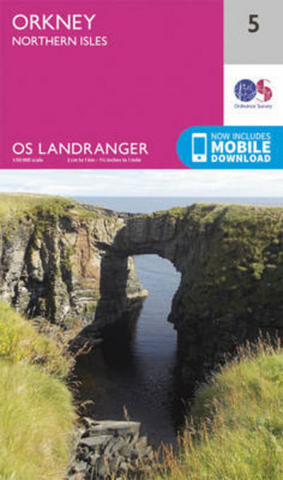
Orkney - Northern Isles - OS Landranger Map (2016) Ordnance Survey Map February 2016 Edition S$ 20.50
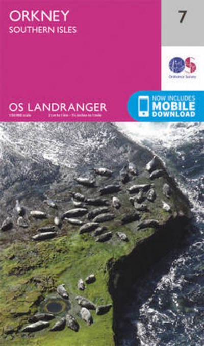
Orkney - Southern Isles - OS Landranger Map (2016) Ordnance Survey Map February 2016 Edition S$ 20.50
Stornoway & North Lewis - OS Landranger Map (2016) Ordnance Survey Map February 2016 Edition S$ 20.50
Cape Wrath, Durness & Scourie - OS Landranger Map (2016) Ordnance Survey Map February 2016 Edition S$ 20.50
Strathnaver, Bettyhill & Tongue - OS Landranger Map (2016) Ordnance Survey Map February 2016 Edition S$ 20.50
Thurso & Wick, John O'Groats - OS Landranger Map (2016) Ordnance Survey Map February 2016 Edition S$ 20.50
West Lewis & North Harris - OS Landranger Map (2016) Ordnance Survey Map February 2016 Edition S$ 20.50
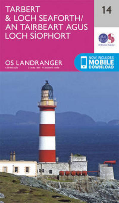
Tarbert & Loch Seaforth - OS Landranger Map (2016) Ordnance Survey Map February 2016 Edition S$ 20.50
Loch Assynt, Lochinver & Kylesku - OS Landranger Map (2016) Ordnance Survey Map February 2016 Edition S$ 20.50
Lairg & Loch Shin, Loch Naver - OS Landranger Map (2016) Ordnance Survey Map February 2016 Edition S$ 20.50
Helmsdale & Strath of Kildonan - OS Landranger Map (2016) Ordnance Survey Map February 2016 Edition S$ 20.50